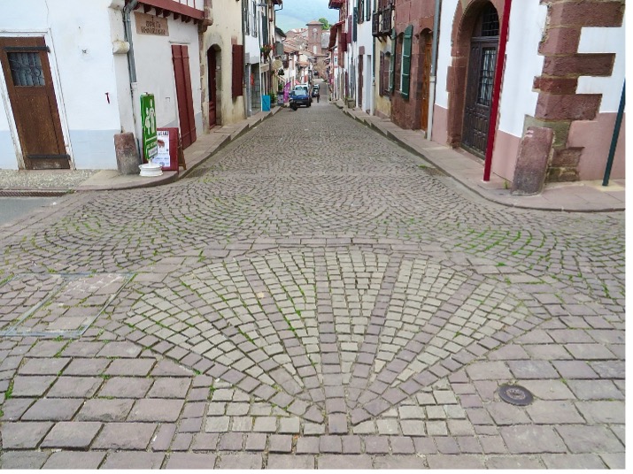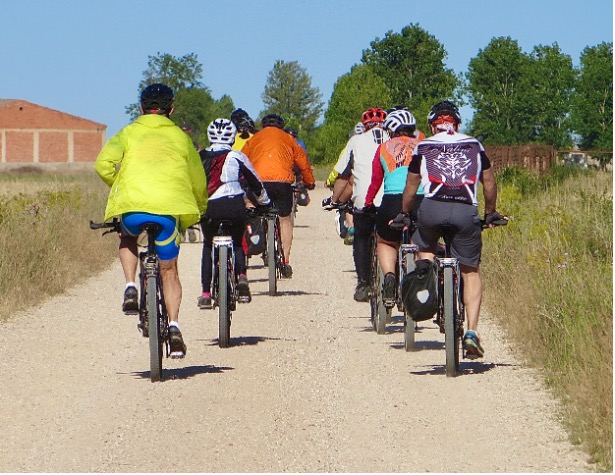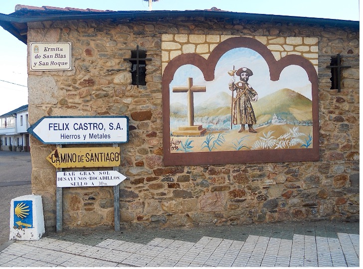
Camino Frances: “The French Way”
- 500 miles; typically takes 4-6+ weeks to walk; traditionally starts in St. Jean Pied de Port; map & route info on GRONZE.COM
- Most popular route; in 2025 over 45% of all pilgrims who received Compostelas walked the Frances.
- Named “The French Way” because this was the route pilgrims walked from France during the Middle Ages.
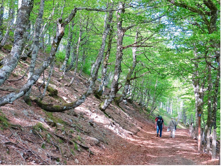
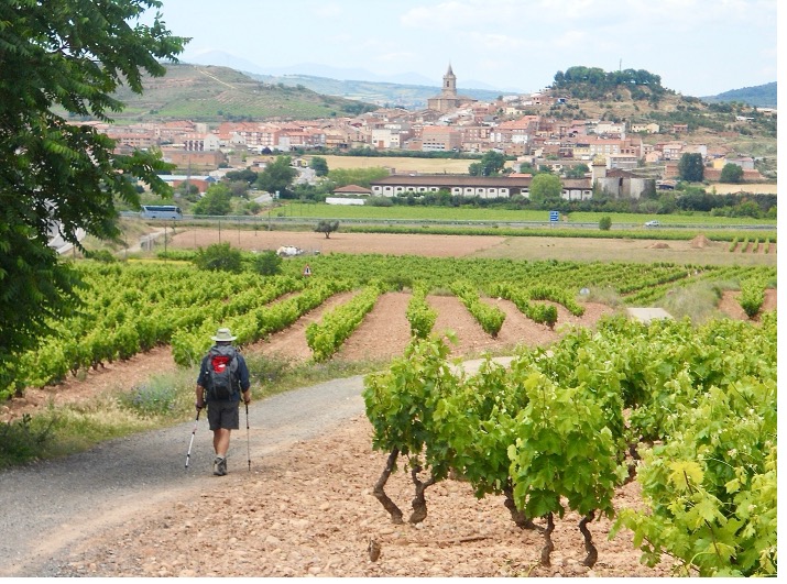
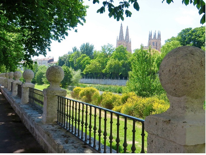
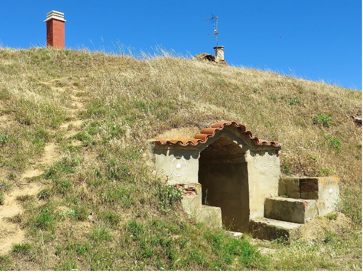
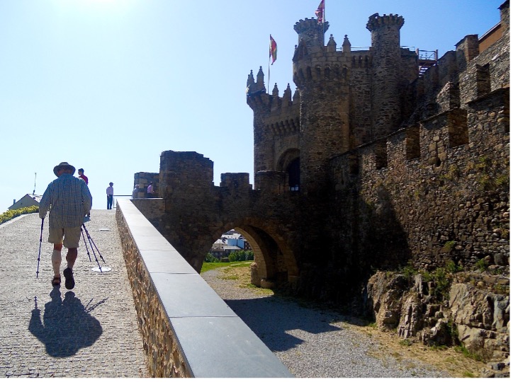
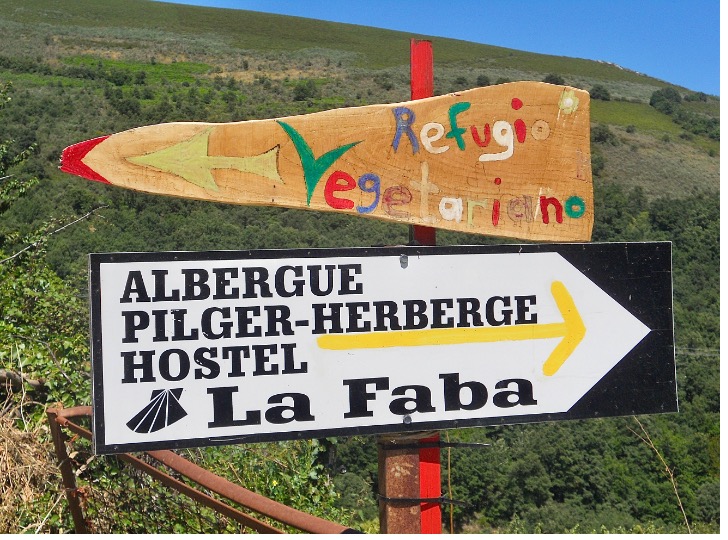
- The Frances spans across 4 “autonomous communities” (or regions) — Navarra (Basque region), La Rioja, Castilla y Leon, & Galicia.
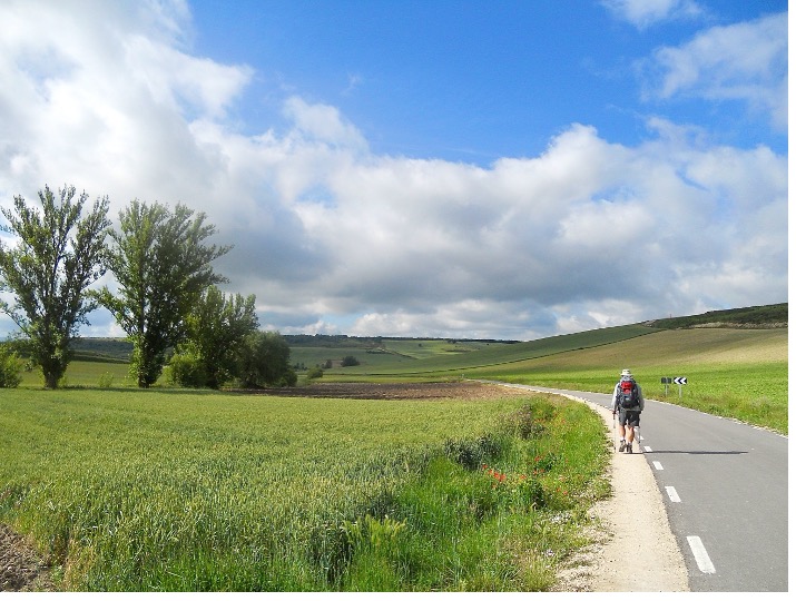
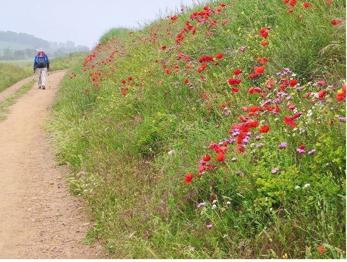
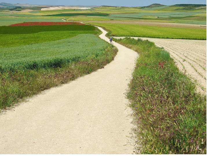
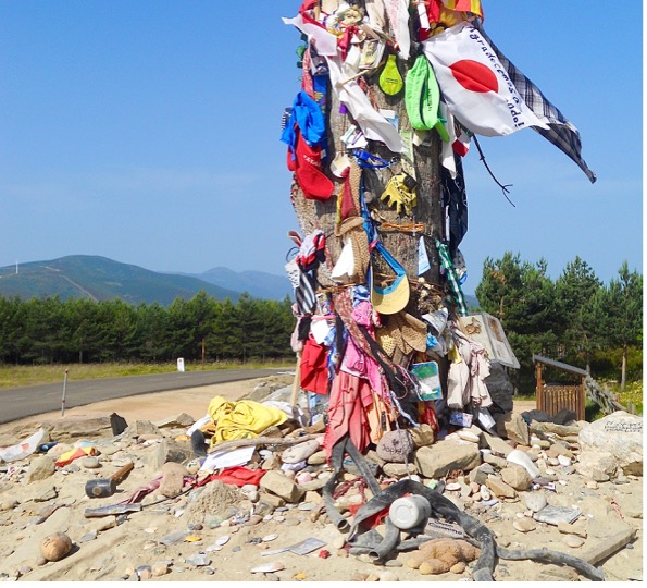
- Landscapes: Pyrenees (Navarra), vineyards (La Rioja), the Meseta & Cantabrian Mountains (Castilla y León), & tree groves (Galicia).
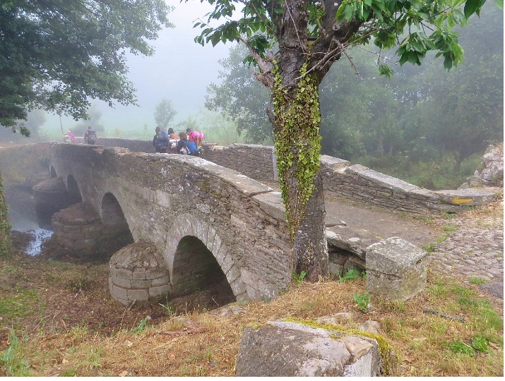
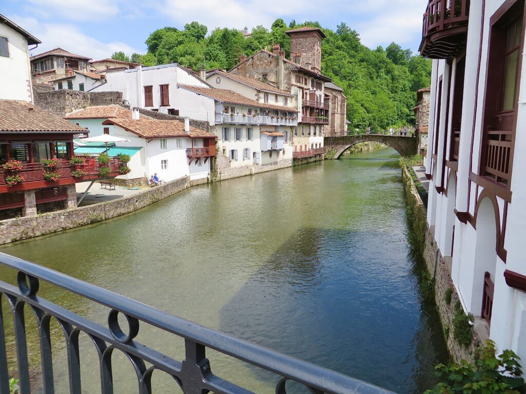
- Top photo: St. Jean Pied de Port, located in the Pyrenees; the “Pilgrim’s Bridge” is in the background.